• Parking – In general there is a lack of parking for equestrians. Some trucks and
trailers are smaller, some are larger, but the average truck & trailer size is 40
feet. Most people ride with other horses and riders because horses are more
comfortable with company. Equestrians use the buddy system for safety.
Planning for parking spaces should allow for two to four rigs. Equestrians would
prefer small, unpaved parking lots, landscaped into the environment, in multiple
locations along the Rio Grande Trail to spread the density of users onto the many
existing and proposed trail systems above the valley floor. A 40-foot rig needs a
100-foot turn around. Parking can be accomplished along roads with wide
shoulders with turnouts, in fields, and designated parking lots, as long as there is
room to pull in, park, and turn to pull out.
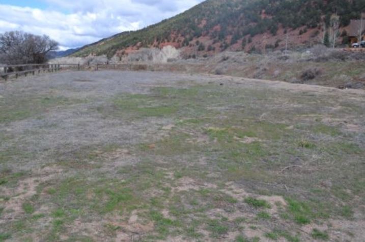
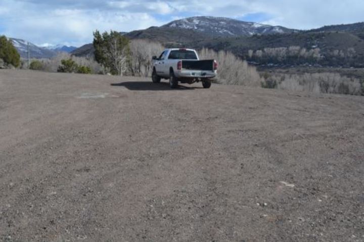
This photo shows potential truck and trailer parking at Arciero in the old riding
arena.
arena.
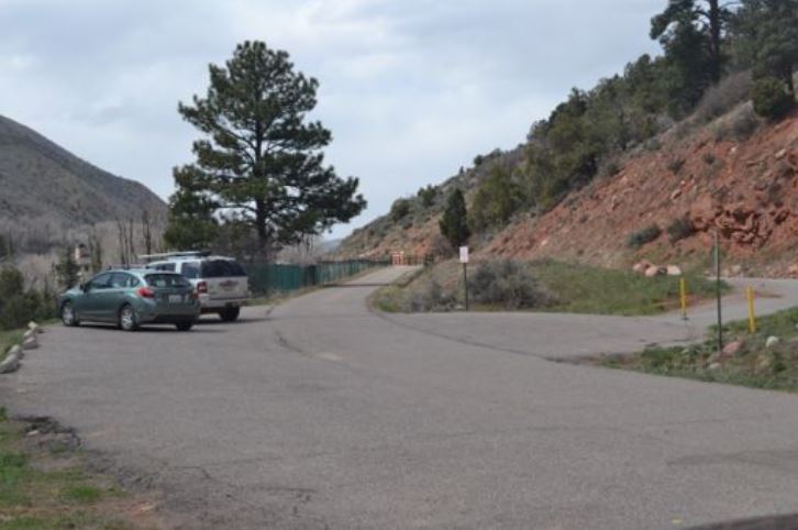
This is the existing Arciero trail parking, which is very limited at this time.
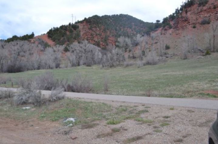
This photo shows potential truck and trailer parking on the newly acquired
Dart OST property on Lower River Road.
Dart OST property on Lower River Road.
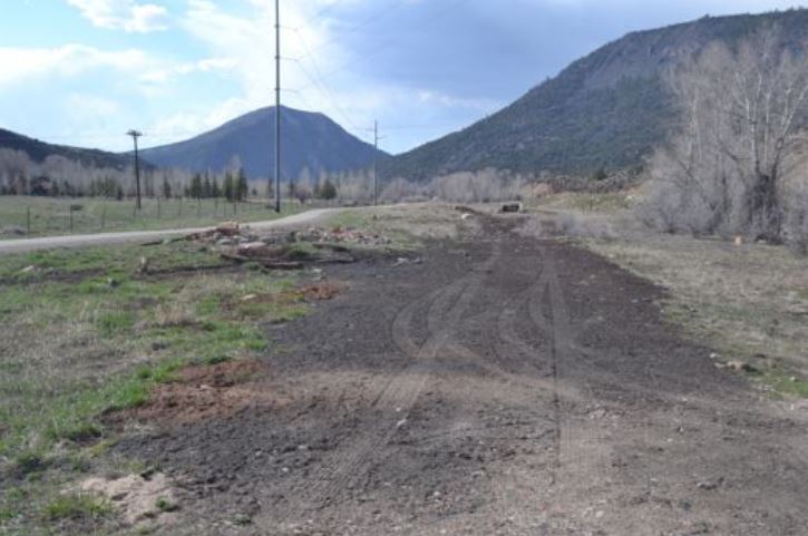
The Iron Works railroad bed is ideal for a separate soft track trail and plenty of
room for truck and trailer parking also.
room for truck and trailer parking also.
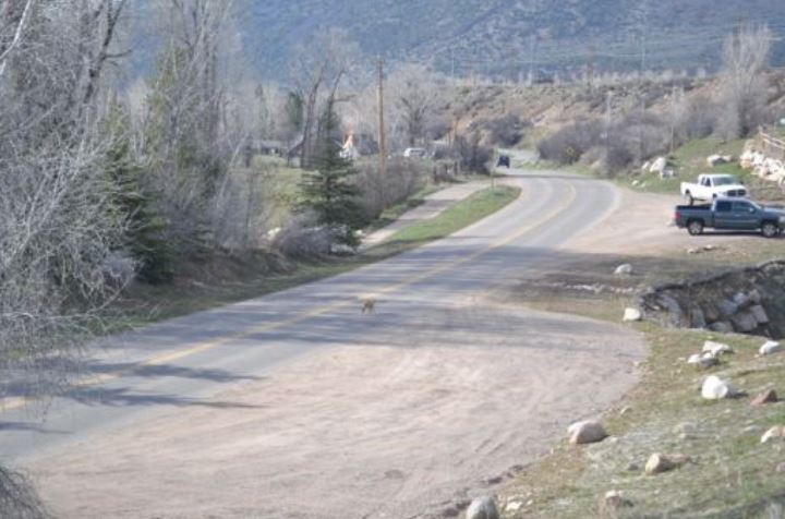
There are two pull out parking areas just west of the bridge and west of the
Woody Creek Tavern. Mr. fox is headed across the road to the existing Rio
Grande soft track.
Woody Creek Tavern. Mr. fox is headed across the road to the existing Rio
Grande soft track.
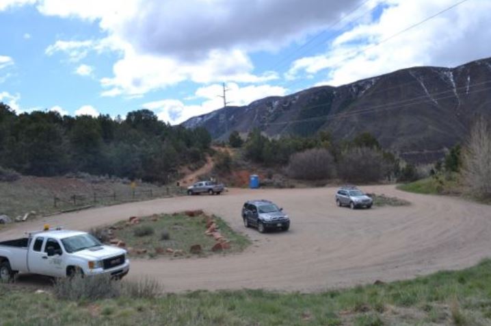
There is ample truck and trailer pull off parking near the entrance of Aspen
Valley Ranch for public access to the Red Canyon Trail.
Valley Ranch for public access to the Red Canyon Trail.
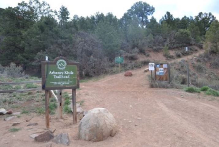
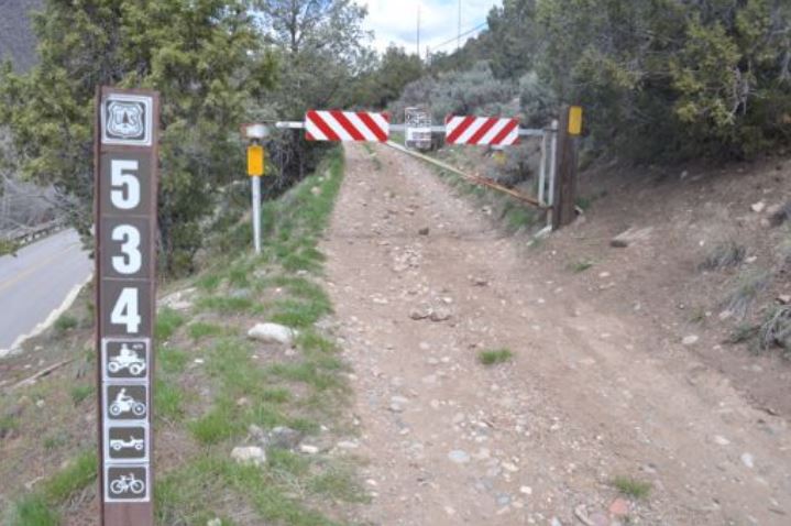
There is room for truck and trailer parking for the Arbany-Kittle Trail. This
trailhead is just east of the Arciero Rio Grande Trail.
• Connections – The Rio Grande Trail gives the public a way of getting to the
many connecting trails leading up from the valley floor to the high country
trails. With the addition of more parking for cars, along with trucks and
trailers, the improvements to the Rio Grande soft track will allow all users to
get to the many connecting trails.
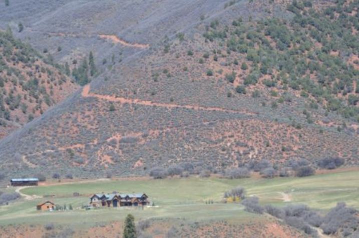
The red trail leading out of Chaparral Ranch can easily be accessed from the Rio
Grande trail. The public could benefit from the additional parking for cars and
trucks and trailers at the old Iron Works site.
Grande trail. The public could benefit from the additional parking for cars and
trucks and trailers at the old Iron Works site.
Arbany-Kittle Trailhead, the Red Canyon Trail, the Chaparral Ranch Trail,
provide access to BLM lands from Basalt to Lenado, and on to Hunter Creek,
Smuggler Mountain, and the wilderness beyond.
provide access to BLM lands from Basalt to Lenado, and on to Hunter Creek,
Smuggler Mountain, and the wilderness beyond.
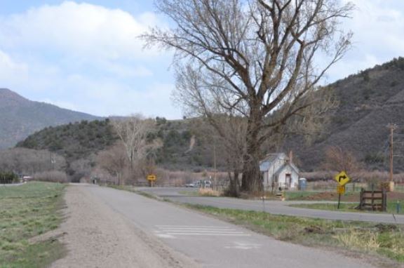
This is a multi use two-track trail allowing horses, but with no parking to access
this trail, horsemen must ride along the asphalt Lower River Road from the Rio
Grande Trail.
this trail, horsemen must ride along the asphalt Lower River Road from the Rio
Grande Trail.
On the right, above the arrow sign, you can see the trail to Light Hill. The Rio
Grande Trail and OST owned property next to the Emma School house could
access this trail nicely.
Grande Trail and OST owned property next to the Emma School house could
access this trail nicely.
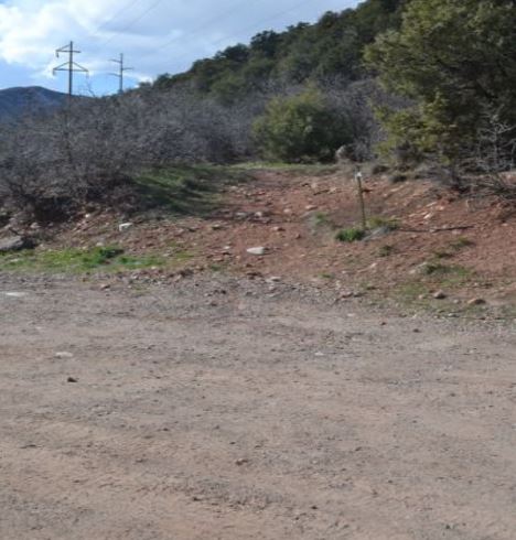
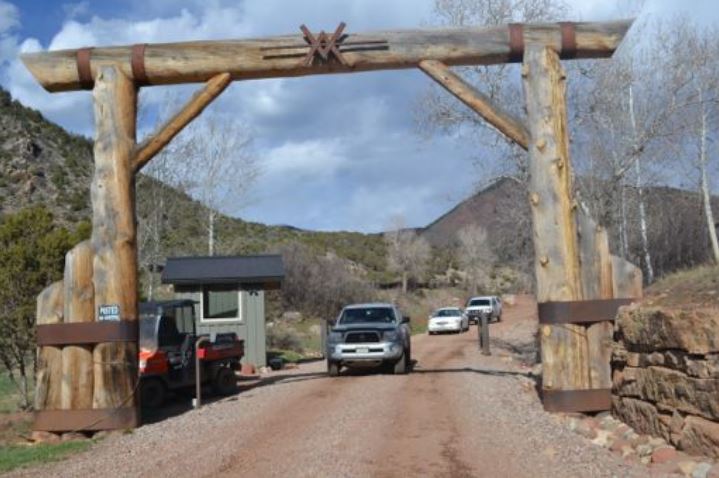
Near the train car after the Aspen Valley Ranch heading west, there is a pull out
which could accommodate one truck and trailer with access to the trail that you
see at the center of the photo. Hunters use this every fall, and is a suitable riding
trail.
which could accommodate one truck and trailer with access to the trail that you
see at the center of the photo. Hunters use this every fall, and is a suitable riding
trail.
Aspen Valley Ranch – Red Canyon Trail access for the public.
A trail through the Aspen Mass OST property could connect Cozy Point Horse
Park, the Intercept Lot, to Jaffe parking lot and the Rio Grande Trail. This would
allow you to head East towards Aspen, or west through Woody Creek, and on
down valley. This could also connect users across Brush Creek Road to Sky
Mountain and Snowmass. Talk about connections!
Highway and Road Crossings to access the Rio Grande Trail
Aspen is a unique community. Our vision for crossing Brush Creek Road and
Hwy 82 would make the entrance to aspen unique and very beautiful while
creating a pathway for wildlife, pedestrians, and equestrians to cross safely.
I thought it best to address the dangers of a multi use tunnels.
Horses are extremely skeptical about dark, enclosed areas. Most horses become very
nervous in tunnels. The flight from fear instinct is peeked causing horses to shy and
run from the smallest trigger. A shying horse in enclosed dark areas can be disastrous.
They can be trained to tolerate almost anything, but even if horses have repetitive,
positive experiences over a long period of time, the natural instincts often surface,
causing danger for all involved. If for example a horse was learning to go through a long
tunnel under Brush Creek Road, another party might approach from the front or
behind the horse. (be it a person on foot, another mounted equestrian, wildlife, or
worst case scenario a man on a bike) most horses would have some reaction to flee.
Horses and bikes together in a tunnel create a most dangerous situation.
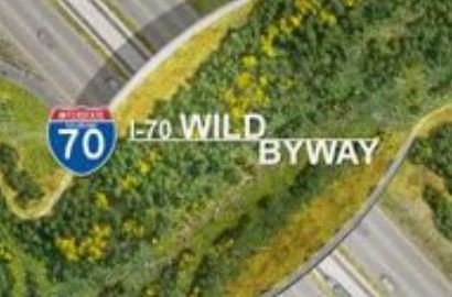
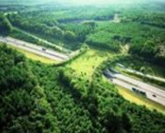
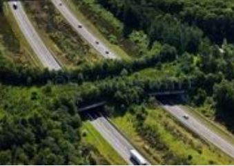
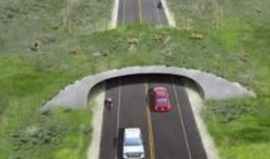
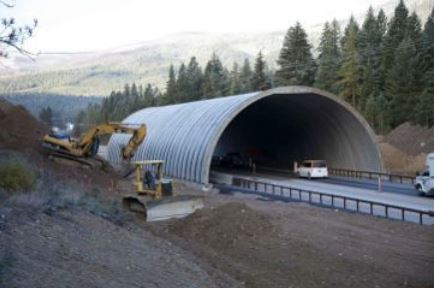
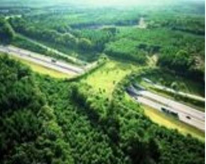
Many communities throughout the world have used Living Bridges to solve this
crossing problem. I have included some photos of these bridges for use by horses,
pedestrians, mountain bikers, and wildlife. Not only are they functional, but also
absolutely beautiful.
As planes fly into Aspen, the aerial view of these bridges would be spectacular, unique,
and make our entrance corridor rare and wonderful.
Living bridges for living beings, for all creatures, great and small.
How exciting to think of the potential for this beautiful and safe highway crossing.
A beautiful highway crossing for wildlife, equestrians, pedestrians and
mountain bikers would be across Highway 82 from Cozy Point Ranch.
The wildlife could then cross to the Roaring Fork River for watering, and back to
their winter range on the hill behind Cozy Point leading to Wild Cat. This crossing
would enable wildlife to cross safely to all the BLM lands and National Forest
Wilderness for summer grazing. Equestrians from the Cozy Point Horse Park could
use the “Green Living Bridge” to access the soft track, with the proposed
improvement for horses, on the Rio Grande Trail. A bridle path – trail could be
constructed across from the main ranch, on the Aspen Mass trail leading to the
Roaring Fork River at the Woody Creek bridge crossing, then safe crossing of this
bridge could be done with site visits and planning. Pedestrians and mountain bikers
could obviously use the bridge, but the parking at the intercept lot places them on
the correct side of the highway for easy access to the Rio Grande Trail, without using
the “Living Bridge”.
Another option for Brush Creek Road and Highway 82 crossings would be the
use of traffic crossing buttons at horse and rider height with stoplights for
both road and highway junctions. This, however, will not help the wildlife.
Colorado Dept. of Transportation (CDOT) listed Highway 82 a hot spot for wildlife
crossings deaths. That is why they constructed the 8’ deer fence along the corridor
in places from Glenwood to El Jebel. This has decreased the car-deer collisions by
half, but in 2014 there were still 65 wildlife deaths on Highway 82. On Sunday,
February 8th, the front page of the Aspen Times features an article about the decline
of elk and deer, calf-to-cow, fawn-to-doe numbers well below desired levels in the
Aspen area.
Thank you so much for asking the RFVHC for our input in your Rio Grande
Management Plan Update. We can see in your draft that you are working to
achieve equestrian truck and trailer parking, and a trail design for safe
equestrian use.
The RFVHC would like to consult with you on design specifics for equestrian
truck and trailer parking and trails. The Rio Grande Trail is a fabulous amenity
that Pitkin County and OST have provided for the community. We are excited
about the opportunity to work with you.
We ask that your new updated management plan will include language that
includes:
• Separation of hard/soft track where possible
• 50%-50% trail width construction for soft and hard surfaces in narrow
constricted portions of the trail
• Safe footing for horses on bridge surfaces and narrow portions of the trail
• Prioritization of OST/RFTA evaluation of potential truck and trailer parking
sites
• Solution for overcrowded trailhead parking
Most sincerely,
Carol Dopkin
RFVHC President
[email protected]
970 618 0187
Leslie Thomas
RFVHC Membership Chairman
[email protected]
970 376 6273
Holly McLain
RFVHC Communication Chairman
[email protected]
970 948 2151
